LOD: New Interactive Maps of University of British Columbia Library’s Open Collections Use Linked Open Data
From the University of British Columbia Library:
The open data movement has been gaining ground each year as more data is made freely available online by governments, academic institutions, and businesses. While increased access to larger and more diverse datasets is a critical step forward for open data advocates, making sense of all this information has become the next big challenge.
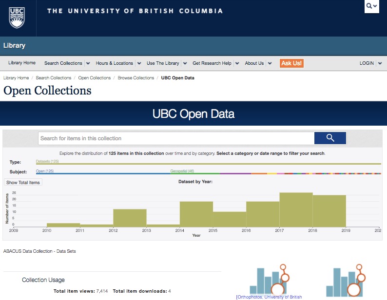
Carolina Román Amigo, a UBC Library co-op student, took up this challenge in her recent direct study project, which focuses on how linked open data can be used to enhance UBC’s extensive Open Collections platform. Working with Paul Joseph, Systems Librarian at UBC Library, and Professor Richard Arias-Hernandez, an instructor at the School of Library, Archival and Information Studies (SLAIS), Amigo wanted to make it easier for researchers to understand the thousands of scanned digital photos, maps and rare texts found in Open Collections. Her solution was to create interactive maps of two collections and geolocate the digital objects according to their geographic points of origin.
Filling in the gaps, she added the missing geographic information by reconciling collection data downloaded through the Open Collections API with location data downloaded from Geonames, an open geographical database that contains over eleven million placenames. She then built interactive maps on a platform, called CARTO, and plotted the digital images connected to Open Collections on the maps.
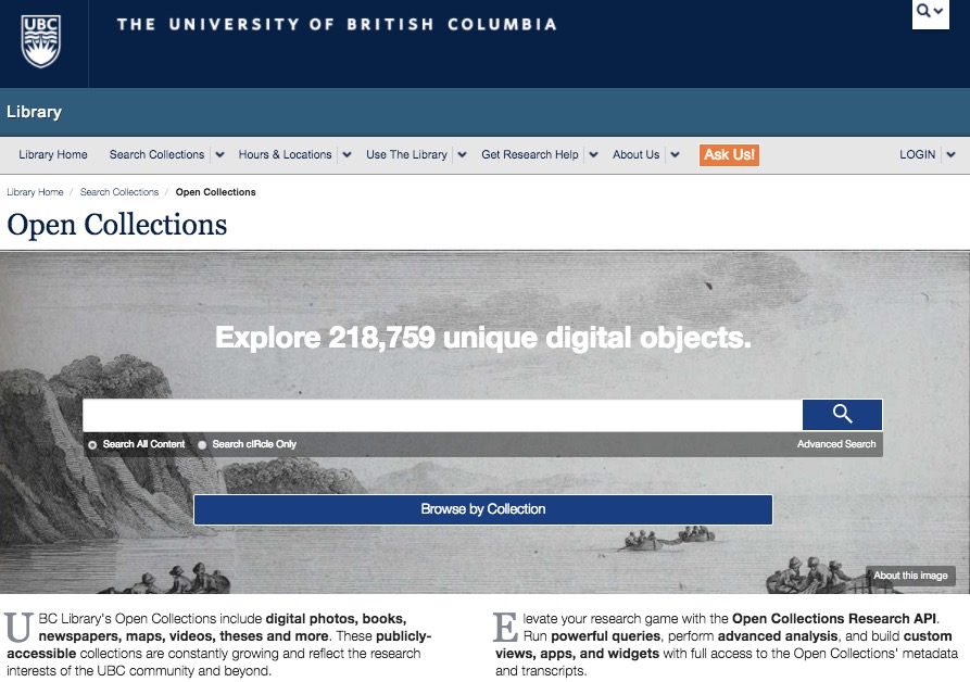
The intention of Open Collections is to make the metadata and digital objects accessible so that digital collections could be transformed into datasets for researchers like Carolina. Using freely available tools, Carolina has extracted and manipulated the metadata to produce a research output that provides insight into the nature of each collection while enhancing how a user interacts with the data provided by Open Collections,” says Joseph, one of the architects behind Open Collections.
The completed maps, which can be easily accessed online, provide an innovative, highly visual way to search for digital objects from collections like The MacMillan Bloedel Limited fonds, a collection of early 1900’s British Columbian forestry photographs, and the UBC Institute of Fisheries Field Records, a collection of over 11,000 note pages documenting the third largest fish collection in Canada, housed at UBC.
Arias-Hernandez, who supervised the directed study, notes: “UBC Open Collections provided Carolina with an excellent test bed for an open, linked, and visualized data project that demonstrated how UBC can contribute to this growing international trend. This project is also a concrete example of how library students, instructors, and practitioners can collaborate to enhance mutual learning and information practices that benefit both libraries and schools.”
Direct to Complete News Report
Filed under: Data Files, Digital Collections, Interactive Tools, Libraries, Maps, News
About Gary Price
Gary Price (gprice@gmail.com) is a librarian, writer, consultant, and frequent conference speaker based in the Washington D.C. metro area. He earned his MLIS degree from Wayne State University in Detroit. Price has won several awards including the SLA Innovations in Technology Award and Alumnus of the Year from the Wayne St. University Library and Information Science Program. From 2006-2009 he was Director of Online Information Services at Ask.com.
ADVERTISEMENT
Archives

ADVERTISEMENT