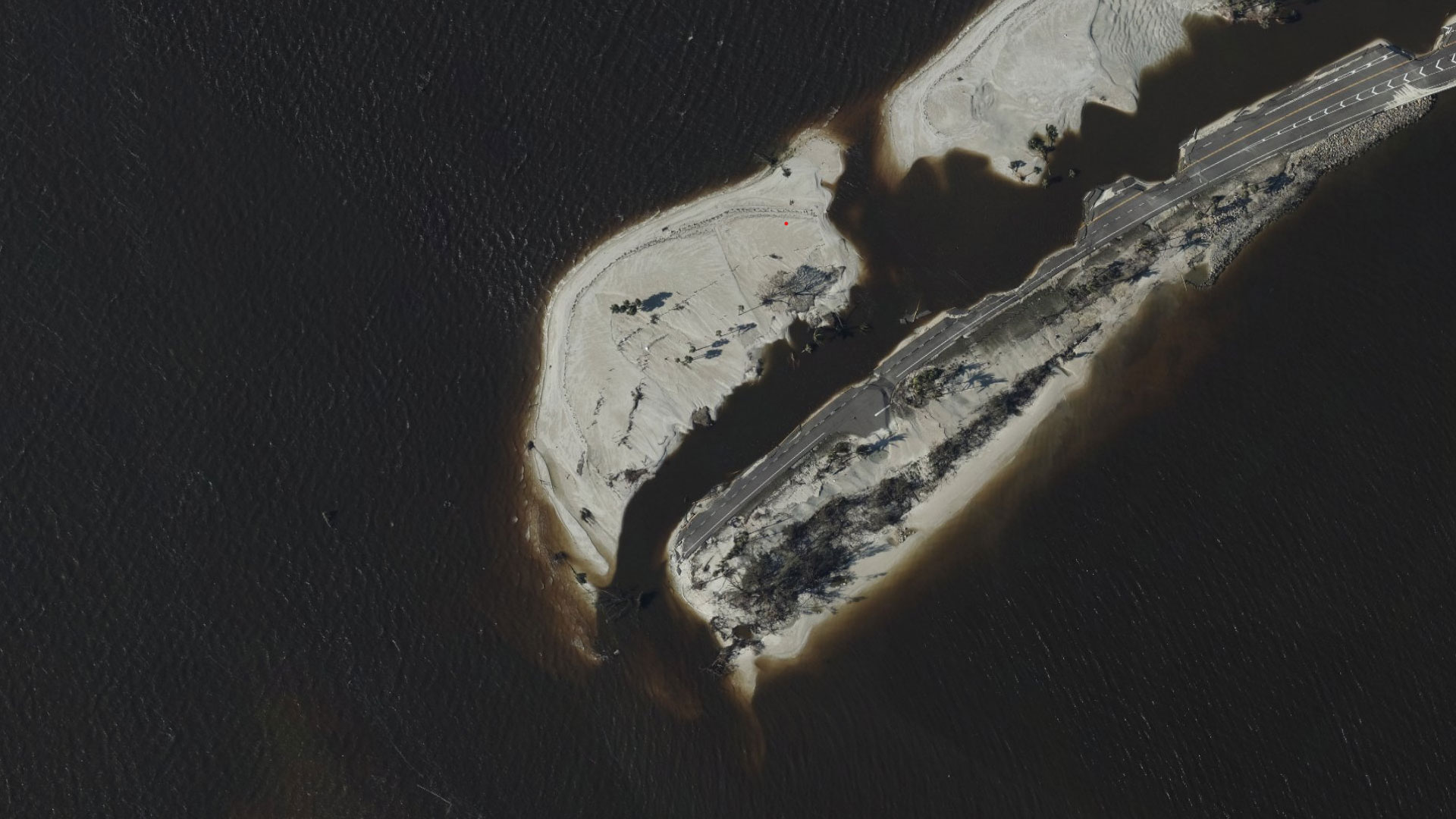
On September 29, the National Geodetic Survey (NGS) began collecting aerial damage assessment images in the aftermath of Hurricane Ian. Imagery is being collected in specific areas by NOAA aircraft, identified by NOAA in coordination with FEMA and other state and federal partners.
Sanibel Causeway, National Geodetic Survey aerial assessment imagery collected on Sept. 29, 2022. Source: NOAA
Gary Price (gprice@gmail.com) is a librarian, writer, consultant, and frequent conference speaker based in the Washington D.C. metro area.
He earned his MLIS degree from Wayne State University in Detroit.
Price has won several awards including the SLA Innovations in Technology Award and Alumnus of the Year from the Wayne St. University Library and Information Science Program. From 2006-2009 he was Director of Online Information Services at Ask.com.