Dynamic World: A New Online Tool from World Resources Institute and Google Earth Engine Shows How the Planet Is Changing in Near Real Time
From Fast Company:
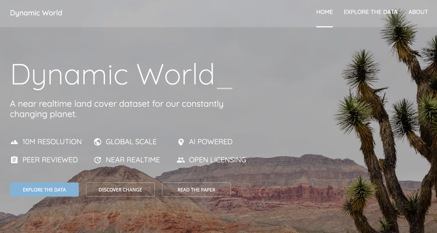
A new tool from Google Earth Engine and the nonprofit World Resources Institute pulls from satellite data to build detailed maps in near real time. Called Dynamic World, it zooms in on the planet in 10-by-10-meter squares from satellite images collected every two to five days. The program uses artificial intelligence to classify each pixel based on nine categories that range from bare ground to trees, crops, and buildings.
Researchers, nonprofits, and other users can “explore and track and monitor changes in these terrestrial ecosystems over time,” says Tanya Birch, senior program manager for Google Earth Outreach. As the tool was being built last year, Birch used it in the days after the Caldor Fire, a wildfire that burned more than 200,000 acres in California. The pixels in satellite images quickly changed from being classified as “trees” to “shrub and scrub.”
Direct to Full Text Article From the Dynamic World Website:
Key innovations of Dynamic World
- Near realtime data. Over 5000 Dynamic World image are produced every day, whereas traditional approaches to building land cover data can take months or years to produce. As a result of leveraging a novel deep learning approach, based on Sentinel-2 Top of Atmosphere, Dynamic World offers global land cover updating every 2-5 days depending on location.
- Per-pixel probabilities across 9 land cover classes. A major benefit of an AI-powered approach is the model looks at an incoming Sentinel-2 satellite image and, for every pixel in the image, estimates the degree of tree cover, how built up a particular area is, or snow coverage if there’s been a recent snowstorm, for example.
- Ten meter resolution. As a result of the European Commission’s Copernicus Programme making European Space Agency Sentinel data freely and openly available, products like Dynamic World are able to offer 10m resolution land cover data. This is important because quantifying data in higher resolution produces more accurate results for what’s really on the surface of the Earth.
Direct to Dynamic World Website
Filed under: Data Files, Maps, News, Patrons and Users
About Gary Price
Gary Price (gprice@gmail.com) is a librarian, writer, consultant, and frequent conference speaker based in the Washington D.C. metro area. He earned his MLIS degree from Wayne State University in Detroit. Price has won several awards including the SLA Innovations in Technology Award and Alumnus of the Year from the Wayne St. University Library and Information Science Program. From 2006-2009 he was Director of Online Information Services at Ask.com.


