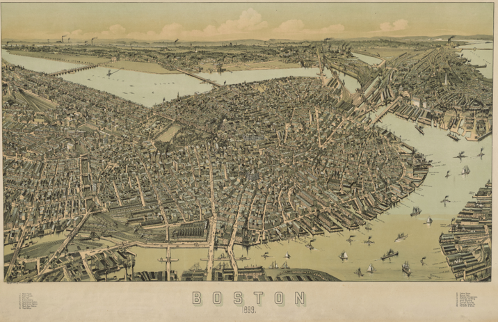
The State Library has a large collection of bird’s-eye view maps that were digitized and are now available online! These maps illustrate with great detail aerial views of cities and towns in Massachusetts–much like what you can imagine a bird would see flying overhead!–with a few maps from other areas outside of Massachusetts.
Boston 1899 Map (Click to Access Record/Download Full Size)
The online collection includes 120 maps so far, with many more to be added in the near future. Most maps date from the late 1800s up to the early 1900s.
Gary Price (gprice@gmail.com) is a librarian, writer, consultant, and frequent conference speaker based in the Washington D.C. metro area.
He earned his MLIS degree from Wayne State University in Detroit.
Price has won several awards including the SLA Innovations in Technology Award and Alumnus of the Year from the Wayne St. University Library and Information Science Program. From 2006-2009 he was Director of Online Information Services at Ask.com.