Online Research Tools: The Atlas of Urban Expansion
From a New National Geographic Article, “The Shape of Cities”:
Rail, roads, and real estate play a role in the physical shape of cities. So does geography. To track how metropolitan regions have developed, Shlomo Angel and his colleagues at New York University used historical maps and satellite imagery to create the Atlas of Urban Expansion. The atlas defines city parameters to include the entire built area beyond a city’s jurisdictional boundaries and into surrounding municipalities.
Read the Complete Article/View Maps
A highly recommended read!
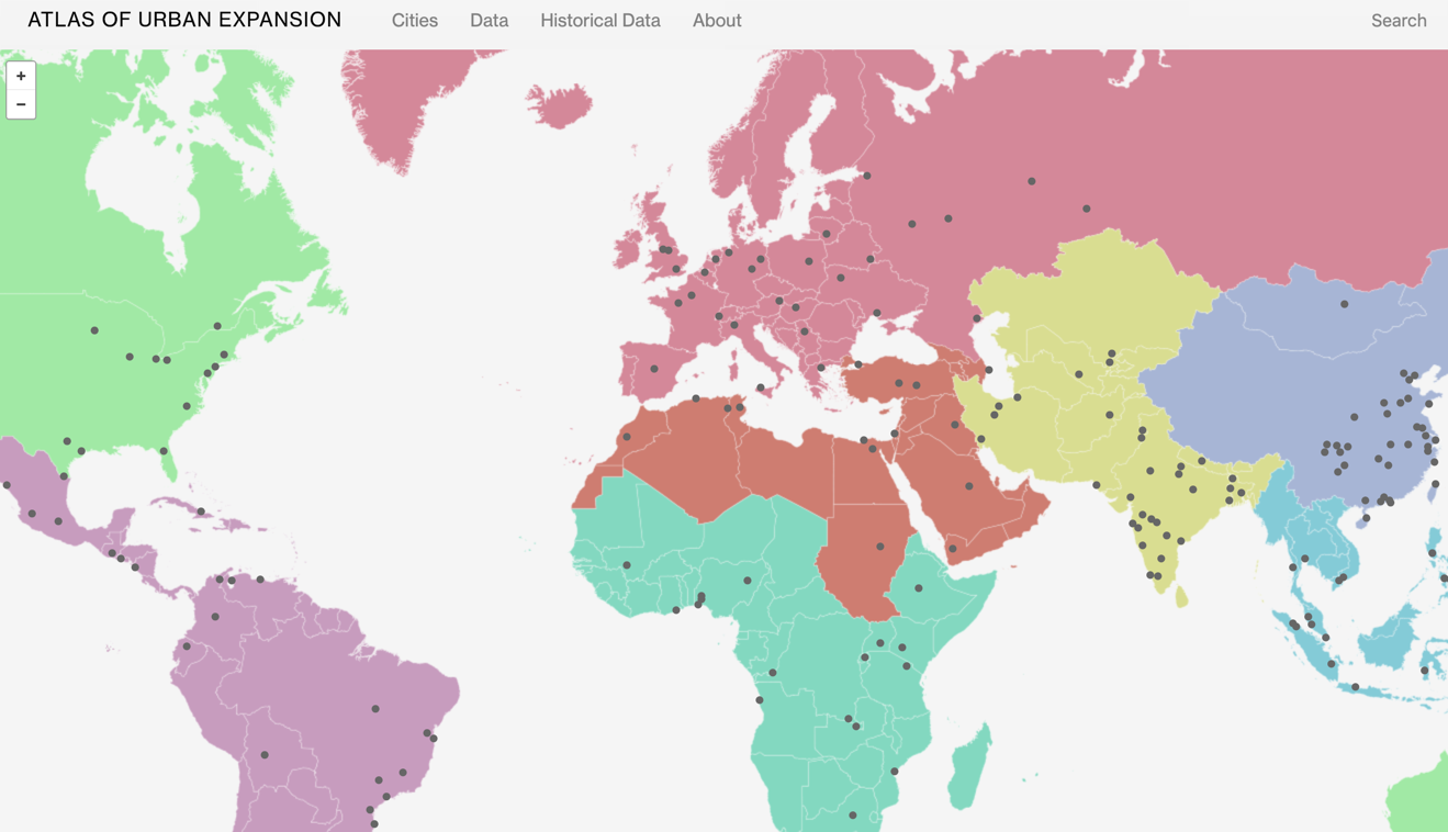
Direct to Atlas of Urban Expansion
Note: Atlas of Urban Expansion Data is Available to Download
A Bit More About the Atlas:
The NYU Urban Expansion Program at the Marron Institute of Urban Management and the Stern School of Business of New York University, in partnership with UN-Habitat and the Lincoln Institute of Land Policy, has initiated a multi-phase research effort to monitor the quantitative and qualitative aspects of global urban expansion.
This effort is a continuation of an earlier project by the authors and their colleagues that resulted in the Atlas of Urban Expansion (Cambridge MA: Lincoln Institute of Land Policy, 2012). The monitoring program has now completed the data collection and has begun the interpretation and analysis of the data in three interdependent phases in a global representative sample of 200 cities.
Note: We First Posted About the Atlas When the Expanded Edition Launched in January 2017
Filed under: Data Files, Management and Leadership, Maps, News
About Gary Price
Gary Price (gprice@gmail.com) is a librarian, writer, consultant, and frequent conference speaker based in the Washington D.C. metro area. He earned his MLIS degree from Wayne State University in Detroit. Price has won several awards including the SLA Innovations in Technology Award and Alumnus of the Year from the Wayne St. University Library and Information Science Program. From 2006-2009 he was Director of Online Information Services at Ask.com.
ADVERTISEMENT
Archives

ADVERTISEMENT