All About the UC Santa Barbara Library Collection of Historical Aerial Photography of California and the FrameFinder Database Available Online
From The Current:
Welcome to what [Jon] Jablonski, [director of the UCSB Library’s Interdisciplinary Research Collaboratory and shepherd of the library’s Aerial Photography Collection] calls “the Google Earth time machine.” A vast repository of 2.5 million aerial photos, the collection is the largest in the world. Spanning from 1924 to 2010, the stockpile literally has California covered; about 90 percent of the collection is dedicated to the state.
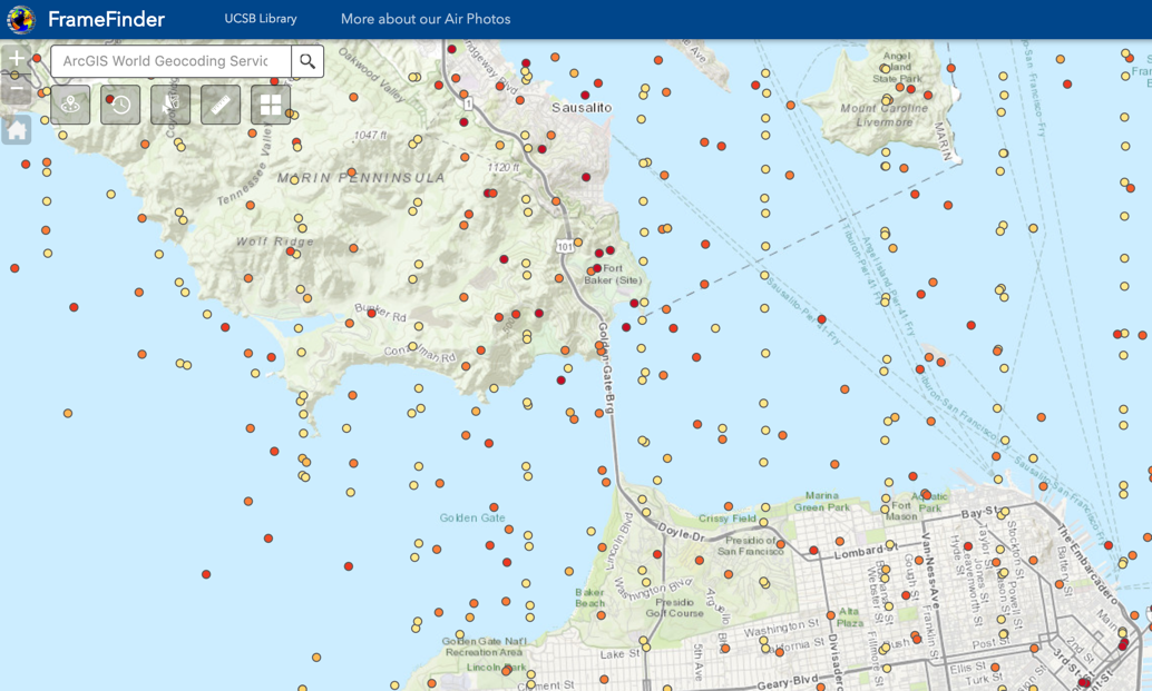
And much of it is available to the public with the click of a mouse. More than 400,000 of the collection’s photos can be accessed through FrameFinder, an interactive database that allows you to search through time as well as geography. Photos that are already digitized can be downloaded free; the rest can be scanned for $18 each.
[Clip]
More than 99 percent of the photos provide a vertical, or straight down; about 70,000 are oblique, bird’s eye views, Jablonski said. And, since many of the photos overlap, they can be seen in 3D through stereoscopic viewers or virtual reality headsets in the library’s Special Research Collections.
Read the Complete Article (approx. 1200 words)
Direct to FrameFinder Database
- Direct to FrameFinder Info Page
- Direct to FrameFinder Search Help
Filed under: Libraries, News, Open Access
About Gary Price
Gary Price (gprice@gmail.com) is a librarian, writer, consultant, and frequent conference speaker based in the Washington D.C. metro area. He earned his MLIS degree from Wayne State University in Detroit. Price has won several awards including the SLA Innovations in Technology Award and Alumnus of the Year from the Wayne St. University Library and Information Science Program. From 2006-2009 he was Director of Online Information Services at Ask.com.
ADVERTISEMENT
Archives

ADVERTISEMENT