New Resource: Hurricane Irma Response Open Data Platform
From the U.S. Department of Homeland Security/Homeland Infrastructure Foundation:
This site provides geospatial data from authoritative sources where possible that can be useful to support community response and recovery to Hurricane Harvey. The data is available for download as CSV, KML, Shapefile, and accessible via web services to support application development and data visualization.
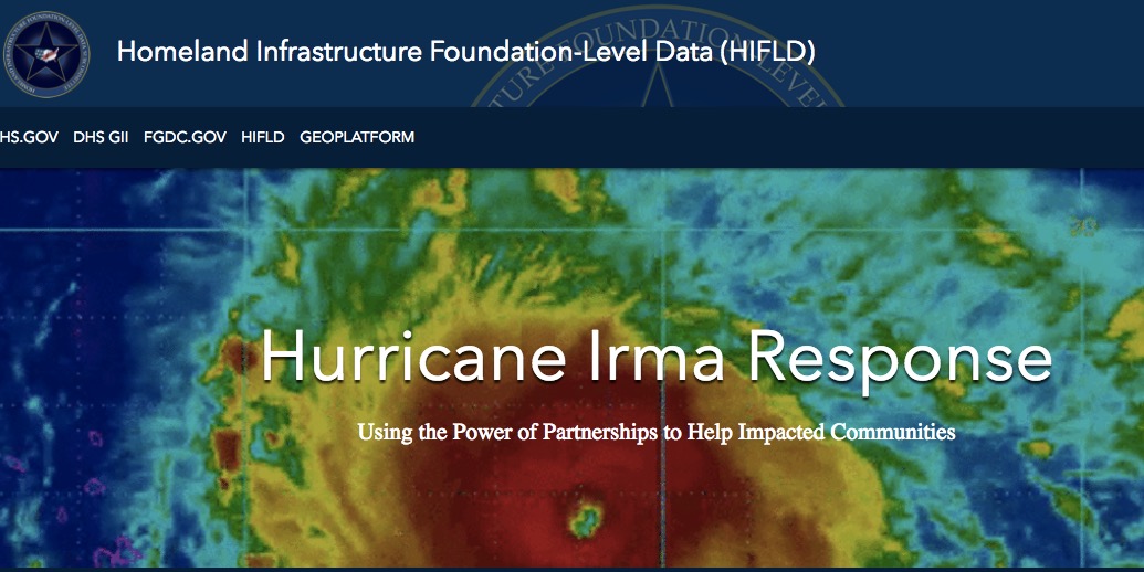
Direct to Open Data via Hurricane Irma Response Open Data Platform
See Also: Hurricane Harvey Response Open Data Platform
Filed under: Data Files, News
About Gary Price
Gary Price (gprice@gmail.com) is a librarian, writer, consultant, and frequent conference speaker based in the Washington D.C. metro area. He earned his MLIS degree from Wayne State University in Detroit. Price has won several awards including the SLA Innovations in Technology Award and Alumnus of the Year from the Wayne St. University Library and Information Science Program. From 2006-2009 he was Director of Online Information Services at Ask.com.
ADVERTISEMENT
Archives

ADVERTISEMENT