Reference: NOAA Aerial Images of Hurricane Harvey Damage Now Available to View Online, Download
Direct to Interactive Map and Imagery from NOAA
Note: Imagery is also available to download.
From the Website:
This imagery was acquired by the NOAA Remote Sensing Division to support NOAA national security and emergency response requirements. In addition, it will be used for ongoing research efforts for testing and developing standards for airborne digital imagery. Individual images have been combined into a larger mosaic and tiled for distribution. The approximate ground sample distance (GSD) for each pixel is 50 cm / zoom level 18.
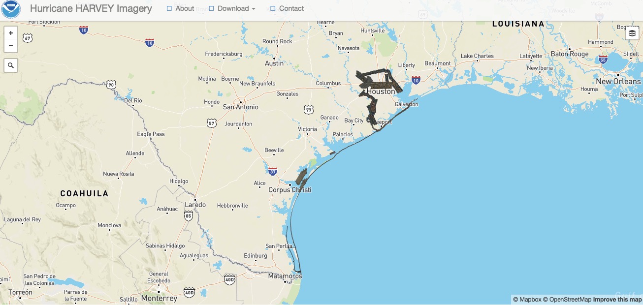
Direct to Interactive Map and Imagery from NOAA
Filed under: News
About Gary Price
Gary Price (gprice@gmail.com) is a librarian, writer, consultant, and frequent conference speaker based in the Washington D.C. metro area. He earned his MLIS degree from Wayne State University in Detroit. Price has won several awards including the SLA Innovations in Technology Award and Alumnus of the Year from the Wayne St. University Library and Information Science Program. From 2006-2009 he was Director of Online Information Services at Ask.com.
ADVERTISEMENT
Archives

ADVERTISEMENT