The data discussed below was made available online earlier today by the Bureau of Transportation Statistics (BTS).
From BTS:
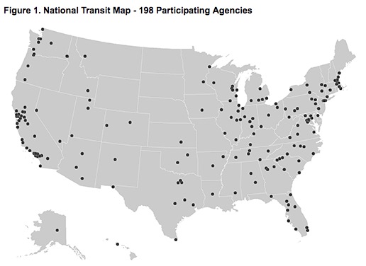
The U.S. Department of Transportation’s Bureau of Transportation Statistics (BTS) today released National Transit Map data, a geospatial database containing the information submitted by almost 200 transit agencies that provides open, machine-readable data about their stops, routes, and schedules.
The national, openly available map of fixed-guideway and fixed-route transit service in America will allow the U.S. Department of Transportation (DOT) to demonstrate the importance and role of transit in American society and to identify and address gaps in access to public transportation.
[Clip]
The initial National Transit Map consists of General Transit Feed Specification (GTFS) data feeds registered with BTS in response to a March 2016 request for the data from U.S. Transportation Secretary Anthony Foxx. Almost 200 transit agencies responded, submitting data on over 385,000 stops and stations and 10,208 routes. Development of the National Transit Map is a continuing process and another update is expected to be released by the end of 2016.
This first version of the National Transit Map contains data for 84 percent of the top 25 urban transit agencies with fixed route service, 74 percent of the top 50 agencies, and approximately one-third of all urban transit agencies with fixed route service. DOT is currently working to bring additional transit agencies on board for the second version of the map, scheduled to be released in late 2016. Source: BTS
The National Transit Map includes the National Transit Layer – national data feeds that provide open, machine readable spatial and tabular data about the nation’s transit systems stops, routes, and schedules.
It also has a National Participation Map that shows which agencies have volunteered to take part in the National Transit Map.
In addition, Interactive Mapping Apps that provide tools such as calculators for distances from transit stops, trip frequency and time of day coverage will be released shortly. Source: BTS
The National Transit Map will be a National Geospatial Data Asset (NGDA) within the National Transportation Atlas Database (NTAD), a set of nationwide geographic databases of transportation facilities, networks, and associated infrastructure. It will be a substantial update to the previous transit-focused map, which was released in 2004 and only included the location of fixed-guideway transit such as rail systems. The new map includes fixed route systems such as bus.
Gary Price (gprice@gmail.com) is a librarian, writer, consultant, and frequent conference speaker based in the Washington D.C. metro area.
He earned his MLIS degree from Wayne State University in Detroit.
Price has won several awards including the SLA Innovations in Technology Award and Alumnus of the Year from the Wayne St. University Library and Information Science Program. From 2006-2009 he was Director of Online Information Services at Ask.com.