Research Tools: Historic England Launches New Map Revealing a Century of England From the Air, Over 100 Years of Aerial Photography Available
From Historic England:
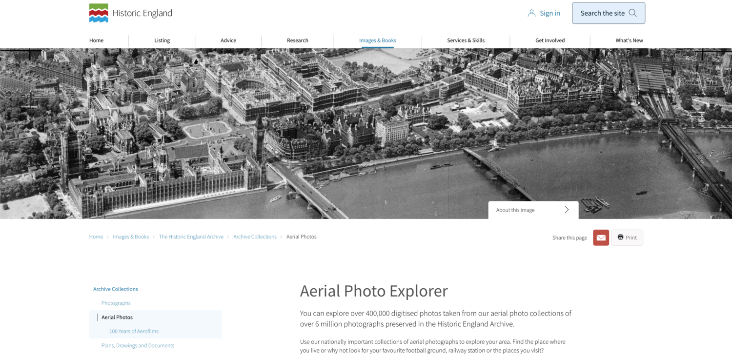
Today, Historic England launches its new Aerial Photography Explorer – which for the first time allows users to search and explore an online map showing aerial photographs of England over the past 100 years.
New imagery available online includes:
- The remains of ancient archaeology such as a Neolithic long barrow near Broughton, Hampshire, as well as remains of Iron Age forts such as Pilsdon Pen in Dorset and medieval villages such as Old Sulby in Northamptonshire.
- Second World War anti-invasion measures such as anti-aircraft obstructions (ditches and earthworks) at Hampton Court Palace in 1941, and images from the same year of RAF Kenley showing camouflaged runways.
- Wartime adaptations to sites, for example, images of Greenwich Park in 1946 show it covered in a patchwork of allotments to grow food and aid the war effort. A modern photograph from August 2006 shows the outlines of the allotments appearing through the grass in hot weather.
- Bomb damage such as images of central Liverpool and the Albert Dock from 1941, 1946 and 1948 with flattened areas and buildings with roofs blown off. By contrast, aerial images from 2017 show the development of the area since.
- 20th-century industrial sites such as the construction of Tilbury power station in 1955, and its demolition in 2017.
- Famous buildings such as views of St James’ Park football stadium, Newcastle from the 1920s and St Paul’s Cathedral after the war.
Over 400,000 images from 1919 to the present day have been added to the tool, covering nearly 30% (about 15,000 square miles) of England, allowing people immediate digital access to Historic England’s nationally important collection of aerial photographs.
Around 300,000 of these are the work of Historic England’s Aerial Investigation and Mapping team. Established in 1967, the team takes photographs of England from the air to discover new archaeological sites, create archaeological maps and monitor the condition of historic sites across the country.
The remaining 100,000 images come from the Historic England Archive aerial photography collection, which numbers over six million images in total, and includes important historic photography, including interwar and post-war images from Aerofilms Ltd and The Royal Air Force.
[Clip]
Over the coming years, Historic England aims to expand the platform, as more of the six million aerial images in Historic England Archive are digitised.
The Aerial Photography Explorer joins Historic England’s recently launched Aerial Archaeology Mapping Explorer to offer an unparalleled insight into England’s archaeology and the nation’s development.
Direct to Aerial Photography Explorer
Direct to Aerial Archaeology Mapping Explorer
Filed under: Maps, News, Patrons and Users
About Gary Price
Gary Price (gprice@gmail.com) is a librarian, writer, consultant, and frequent conference speaker based in the Washington D.C. metro area. He earned his MLIS degree from Wayne State University in Detroit. Price has won several awards including the SLA Innovations in Technology Award and Alumnus of the Year from the Wayne St. University Library and Information Science Program. From 2006-2009 he was Director of Online Information Services at Ask.com.
ADVERTISEMENT
Archives

ADVERTISEMENT