More Than 3,000 Rare Nevada Land Office Maps Digitized and Now Available Online From U. of Nevada Libraries
From U. of Nevada/Nevada Today:
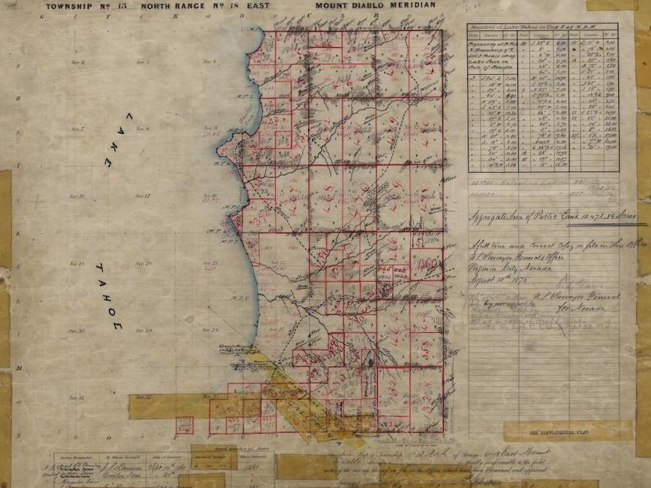
The University Libraries has recently added close to 3,000 plat maps from the State Land Office to the digital archive. These maps date from 1870 to 1988, with the bulk having been created before 1930. They feature the work of surveyors tasked with documenting land divisions in the state. The surveyorsdrafted and colored the maps by hand, making them unique artifacts that document the mapmaking craft, as well as the history of Nevada.
As part of this project, the Libraries’ Metadata and Cataloging and Digital Services units enhanced the data used to describe the maps, allowing users to filter searches by township, range, surveyor, and notable locations.
Direct to State Land Maps Collection (via U. of Nevada Libraries)
Learn More, Read the Complete Article
Filed under: Data Files, Digital Collections, Digital Preservation, Libraries, Maps, News, Patrons and Users
About Gary Price
Gary Price (gprice@gmail.com) is a librarian, writer, consultant, and frequent conference speaker based in the Washington D.C. metro area. He earned his MLIS degree from Wayne State University in Detroit. Price has won several awards including the SLA Innovations in Technology Award and Alumnus of the Year from the Wayne St. University Library and Information Science Program. From 2006-2009 he was Director of Online Information Services at Ask.com.
ADVERTISEMENT
Archives

ADVERTISEMENT