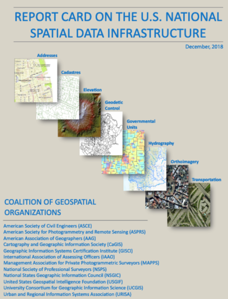
Coalition of Geospatial Organizations (COGO) Releases 2018 Report Card on the U.S. National Data Infrastructure (NSDI)
From COGO:
The Coalition of Geospatial Organizations (COGO) has announced the release of its 2018 Report Card on the U.S. National Data Infrastructure (NSDI). The report card utilizes a letter grading system to depict the status and condition of the nation’s geospatial infrastructure.
 Notably, the national assessment of the NSDI’s ability to meet future geospatial data, based on address, cadastral, elevation, geodetic control, government units, hydrography, orthoimagery, and transportation themes, rose from a C in the 2015 Report Card, to a B- in the 2018 Report Card.
[Clip]
The improved overall grades reflect a broadened base of experts and government organizations involved in the assessment, as well as an expanded set of assessment metrics.
The objectives of the NSDI include reducing the duplication of effort and expense among agencies, ensuring that geographic data is more accessible to the public, improving the quality of national data, and establishing key partnerships within the geospatial field.
Resources
Filed under: Associations and Organizations, Data Files, News, Reports
About Gary Price
Gary Price (gprice@gmail.com) is a librarian, writer, consultant, and frequent conference speaker based in the Washington D.C. metro area. He earned his MLIS degree from Wayne State University in Detroit. Price has won several awards including the SLA Innovations in Technology Award and Alumnus of the Year from the Wayne St. University Library and Information Science Program. From 2006-2009 he was Director of Online Information Services at Ask.com.


