Reference: New Geospatial Site Provides Ongoing Awareness of Natural Hazards in U.S.
From the U.S. Dept. of the Interior:
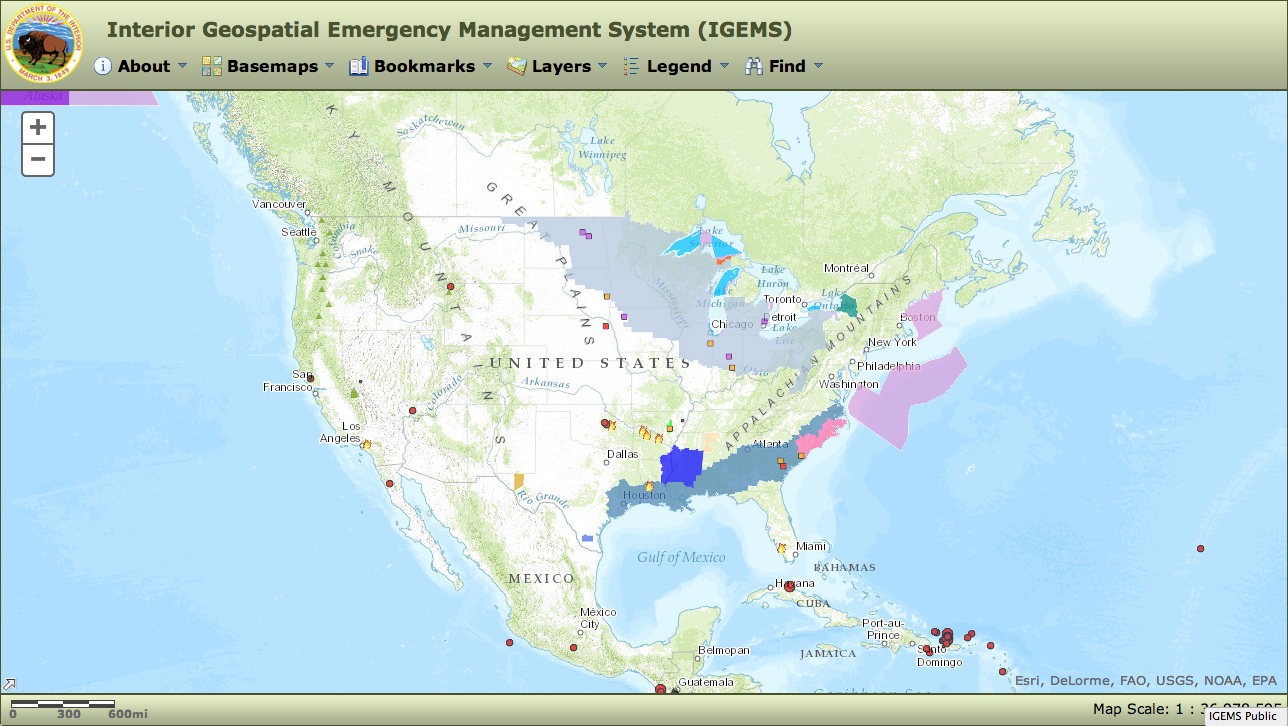
A new Interior Department website offers the public as well as federal, state and local emergency management communities online maps containing the latest available information on earthquakes, earthquake shakemaps, streamflow data and floods, volcanoes and wildfires, as well as information on severe weather hazards.
The Interior Geospatial Emergency Management System (IGEMS), managed by the department’s Office of Emergency Management, provides ongoing awareness of natural hazards, enabling individuals to monitor and analyze natural hazard events as they occur. Information is presented in an integrated geospatial view that locates these threats with reference data, including various basemaps that can be selected by users. The system utilizes data from Interior bureaus, such as the U.S. Geological Survey as well as data provided by the National Weather Service and other authoritative sources.[Clip]
IGEMS is the next generation replacement for the Natural Hazards Support System that had been in operation since 2003, supporting a significant customer base that registered more than 8 million hits a month.
Direct to IGEMS
Filed under: Data Files, Management and Leadership, Maps, News, Patrons and Users
About Gary Price
Gary Price (gprice@gmail.com) is a librarian, writer, consultant, and frequent conference speaker based in the Washington D.C. metro area. He earned his MLIS degree from Wayne State University in Detroit. Price has won several awards including the SLA Innovations in Technology Award and Alumnus of the Year from the Wayne St. University Library and Information Science Program. From 2006-2009 he was Director of Online Information Services at Ask.com.
ADVERTISEMENT
Archives

ADVERTISEMENT